

Hold onto your hats
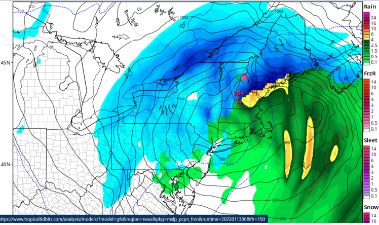
This NWS image shows the 2 p.m. surface/precipitation map for Monday, Jan. 17
A series of storms look to impact New England over the next 5 days.
The first storm on Friday is going to be a “miss” for us. If this storm were to move 100-150 miles to the west, we would be talking significant precipitation (and mainly snow)!
The storm is going to intensify so rapidly over the 24-hour period from 7 p.m. tonight to 7 p.m. Friday night, it will fit the criteria of a “bomb cyclone.” The technical definition requires a drop of 24 millibars of atmospheric pressure and this storm will have a drop of nearly 50 millibars of pressure.
That’s intense.
Though the storm is going to seemingly scoot innocently off the coast, it will have some lasting impacts for us. As the storm passes east of Cape Cod early tomorrow afternoon, winds will shift to the northwest and then, hold onto your hats!
Sustained winds of 15 mph will gust to 35-40 mph and that is going to pull in some of that bitterly cold Arctic air we had earlier in the week.
Saturday looks like a stunner (wall-to-wall sunshine!) with temperatures in the single digits and the feel like temperatures (wind chill temperatures) in the double digits below zero.
Perhaps that may keep the slopes and trails clear of some of the out-of-staters giving the locals a chance to enjoy some winter time fun.
What about storm number 2? I bet some are thinking “okay, there’s lots of cold air in place from the first storm and a storm is coming….I bet it’s going to be SNOW!!!!”
Haaaaa…….yeah, NO.
Storm #2 looks like what we call an “inside runner.” An inside runner begins its life over the ocean and travels to the west of New England (usually along the St. Lawrence Seaway or Hudson River in New York).
A storm to the west brings warmer temperatures and rainy (maybe mixed) precipitation to the east and right now most of southern New England and areas of New Hampshire south and east of the White Mountains are in this zone.
The initial onslaught will likely feature some snow and the dreaded mixed precipitation we have seen so much of this winter, but the change to rain does look inevitable for most of the southern half of New Hampshire.
I know this is hard to believe at this point, and I’m fully aware of how heretics have been treated throughout history, but I speak the truth (as I see it currently).
Being that this is five days away, things could certainly change, but the hint of the inside track and warm signature of this storm has been a constant trait for days now.
January will continue to be seasonal with a few more bouts of below average temperatures. Big storms seem to be few and far between, I’m afraid. February and March climate models still show a significant warming trend.
We’ll see.